- cross-posted to:
- earth
- cross-posted to:
- earth
- Sustainable farming, mercury-free fishing and circular trade are among the strategies Amazon Indigenous peoples have been developing to survive in one of the most hostile states for Indigenous people in Brazil.
- Territorial and Environmental Management Plans (PGTAs) are one of the Indigenous-led tools for communities to create strategies to manage their natural resources and provide income for families in their territories.
- For long-term survival, these sustainable initiatives require investments, but previous experience has shown that a top-down approach is often counterproductive. But even as they achieve successes with various initiatives, monoculture agribusiness, illegal mining and land grabbing continue to threaten their livelihoods.
NOVO PARAÍSO, Brazil – Under the scorching sun and blue sky, the freshly weeded cassava fields offer no shade to hide in this piece of the Amazon Rainforest. It’s winter, time for planting. As the days go by, most in excess of 30° Celsius (86° Fahrenheit), heavy rains to come will make the seeds sprout.
The cassava crops through which Maria Loreta Pascoal now walks are the livelihood of the Indigenous community of Novo Paraíso, where she has been the tuxaua, or chief, since being elected in late 2022. “All of us in the community are farmers,” Pascoal tells Mongabay. “This is how we cultivate our subsistence.”
Life in Novo Paraíso, located in the Manoá-Pium Indigenous Territory in the Brazilian state of Roraima, relies heavily on the production and trade of cassava flour. Some nine months from today, the cassava plants that now barely scrape the tuxaua’s heels will be ready for harvesting and handling.
Demarcated and homologated, or officially recognized by presidential decree, in 1982, Manoá-Pium covers an area of less than 44,000 hectares (109,000 acres). It’s home to seven communities with a combined population of more than 3,900 people, all of whom depend on family farming.
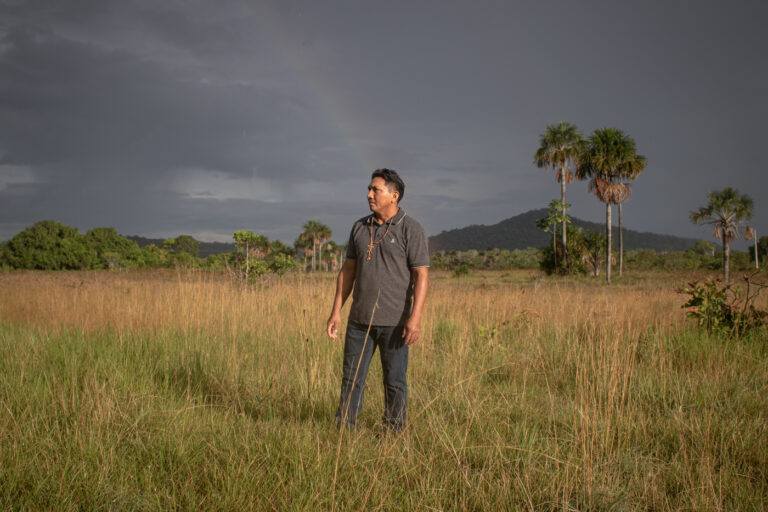
On the hour-long drive from Boa Vista, capital of Roraima, to Novo Paraíso, changes in the landscape are striking. Most of the preserved areas along the road are covered by the lavrado, a savanna-like vegetation. Pascoal’s community, however, is an exception: it’s coated in tall, thick, dark-green trees — what you’d imagine on hearing the word “rainforest.”
However, the most distinct variations are perceptible when crossing monocultures. Besides the visible contrast between the homogenous farms and the vibrant forest, differences in the temperature and air quality are palpable: the air is dry and the heat feels arid on the skin when driving alongside the monocultures.
Like other Indigenous lands in Roraima, Manoá-Piuam was demarcated in what’s known in the state as an island format. Rather than being composed of a large, contiguous swath of territory, these lands are small and encompass only a few communities, separated from one another and surrounded by monoculture plantations.


