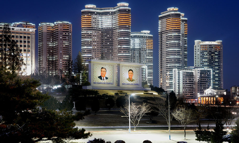
Nearly every photo showing the DPRK as having no lights at night is fake to some degree.
Now it is important to know that the North and Eastern parts of the DPRK are very mountainous so you are only going to see light on the Western/North West Coastal side mostly. That's because that's where all the people are.
But generally the pictures shown are from when there are blackouts, which still happen being a country under embargo, but it's not all the time. Secondly they are usually composites, so they've combined multiple blackouts to make it look like there's no lights. It like if you overlapped a whole lot of satellite photos post hurricanes and storms in the USA to suggest the USA was worse off in those regions.
basically the military took fewer pictures and worse pictures.
So, scientists have observed Earth’s nightlights for more than four decades, first
with astronaut photography and military satellites. Since the 1960s, the U.S. Air
Force has operated the Defense Meteorological Satellite Program (DMSP), a series
of 18 polar-orbiting satellites that observe clouds and other weather variables in
key wavelengths of infrared and visible light. Starting in 1972, the DMSP satellites
included the Operational Linescan System (OLS), which gives weather forecasters
some ability to see in the dark.
While DMSP has been a source of nighttime images for decades, until fairly recently
the data were classified, which meant that only a few civilian scientists could conveniently
gain access to study the data. The atmospheric science community was eager to have
a more accessible night-vision tool to better understand weather and climate patterns
and phenomena. Finally, in 2011, a new source of unclassified satellite images of Earth
at night became available—one that improved upon the capabilities of OLS. The new
low-light sensor was called the Visible Infrared Imaging Radiometer Suite (VIIRS), and
was launched in October 2011 onboard the Suomi National Polar-orbiting Partnership
(NPP) satellite—a partnership between NASA, the National Oceanic and Atmospheric
Administration (NOAA), and the U.S. Department of Defense
My main guess is they have less street lights. The vast majority of that light has to be street lighting and it's just not prioritised by central planning perhaps?
Obviously the infrastructure exists for electricity if they have these other things. So a light difference must come from other factors. I'm working on the assumption these differences aren't caused by a problem with composite images too, I do not know if there is an issue occurring there or not.


So what’s with the pictures? Are there just less people? Or less light pollution for some reason?
Iirc it has to do with being unable capture satellite images or something
What I heard is that the pic has been edited to make the north look darker.
Nearly every photo showing the DPRK as having no lights at night is fake to some degree.
Now it is important to know that the North and Eastern parts of the DPRK are very mountainous so you are only going to see light on the Western/North West Coastal side mostly. That's because that's where all the people are.
But generally the pictures shown are from when there are blackouts, which still happen being a country under embargo, but it's not all the time. Secondly they are usually composites, so they've combined multiple blackouts to make it look like there's no lights. It like if you overlapped a whole lot of satellite photos post hurricanes and storms in the USA to suggest the USA was worse off in those regions.
Also photoshop and other exaggeration measures.
basically the military took fewer pictures and worse pictures.
-- Earth at Night
My main guess is they have less street lights. The vast majority of that light has to be street lighting and it's just not prioritised by central planning perhaps?
Obviously the infrastructure exists for electricity if they have these other things. So a light difference must come from other factors. I'm working on the assumption these differences aren't caused by a problem with composite images too, I do not know if there is an issue occurring there or not.