
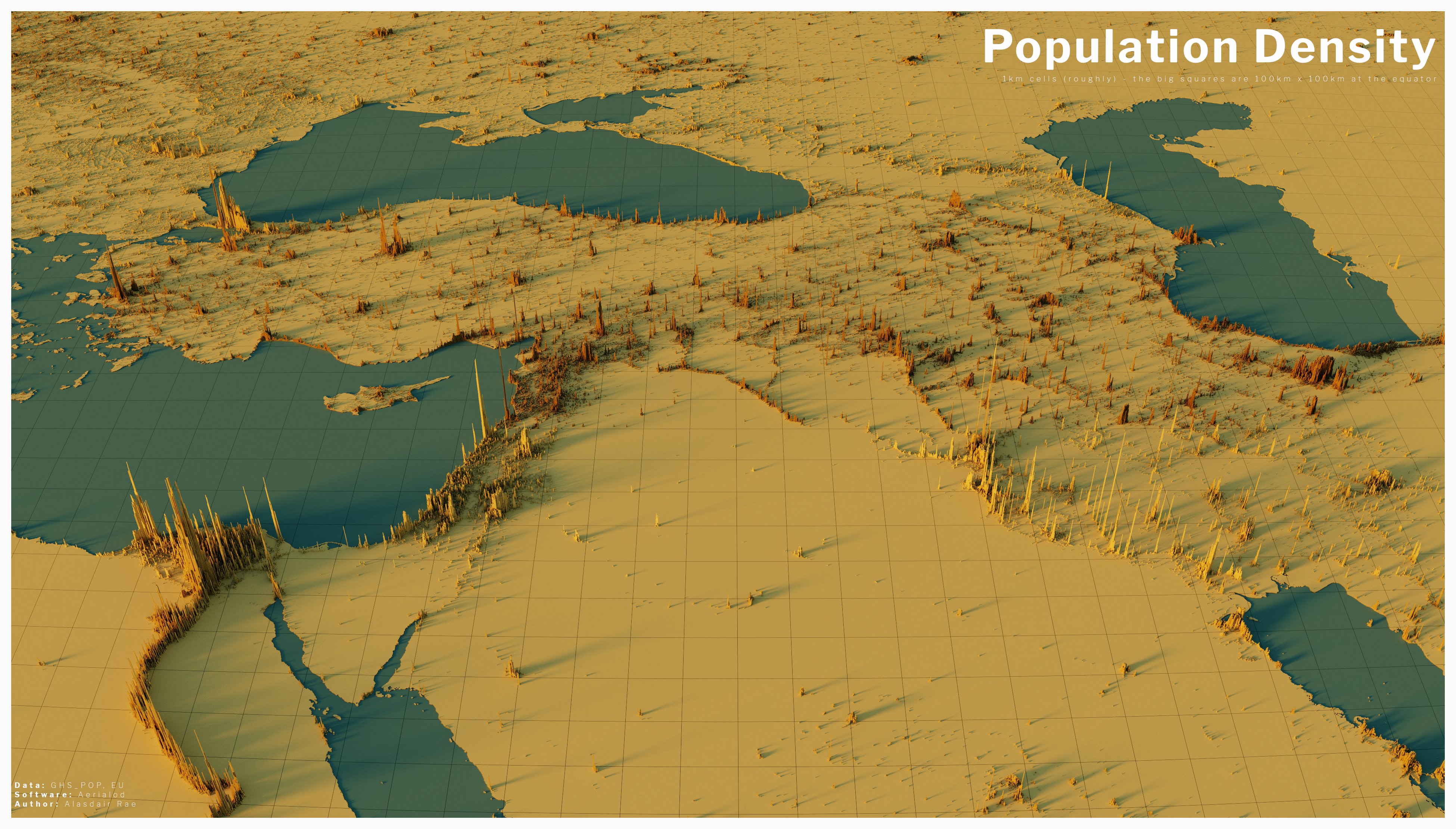
damn, look at that Nile river ![]()
Why is it that the areas around the iraq-saudi arabia border seems to be very populated (maybe just by the Iraq side?) but then it just stops and absolutely no one lives any further south lol
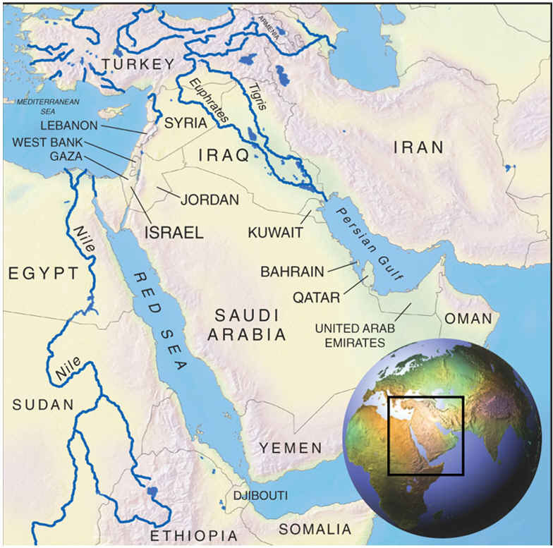
Rivers. This is basically what the population density map is showing: most of the populace (at least south of Turkey) is concentrated around the rivers (and occasionally the shores)
like 15 years ago, i took a geography class and we talked about human geography/water for a while. we watched [this absolute no-BS documentary free link youtube. i am sure it can be found on the high seas, because the linked version is only 360p which sucks but is fine.
water is civilization and life.
i wonder what the yellow/brown distinction means, it isn't even on a single meridian since its also north of the caucasus
the author of this had a blog post going over how it was made, and QGIS is mentioned, although it seems like it's just an intermediate step, and the data processed by QGIS is then passed on to some program called Aerialod
there's also another project inspired by this one with its own explanation, I'm not sure how different the process is between the two


