

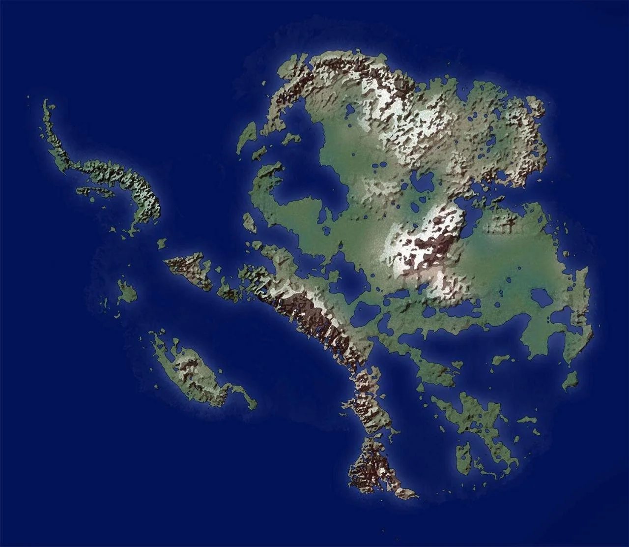
this model just doesn't feel right, the interior bodies of water are wrong. i think it's just a elevation map they made sea level higher on, but lakes don't form because of arbitrary elevations
how do you know it's arbitrary elevations, maybe they're arbitrary indentations
Neat. But I won't consider it a true RPG world map until I've seen the ones you drew of its plate tectonics, major air currents, and each region's average soil Ph.
I love the three inland seas behind narrow straits, all the conveniently nearby huge island chains, and the absurd mountain placement. Guess we know what continent's been hoarding all the fantasy worldbuilding cliches so all the others have had their cliched geography carefully rationed, then.
FR tho i've thought about doing this just because the map is already made and still pretty mysterious/alien to most people
just need to calculate isostatic rebound for max accuracy and more "normal" contours. dunno if there is a hypothetical map with that calculated in it
Honestly looks really ripe for interesting placement of cultures. I kind of want to game it out. What if I start by putting a collection of culturally similar but disorganized petty kingdoms in that lakey region between the southeast mountains and the central bump?


