Interesting that the starting point of the map is post-ethnic cleansing of the eastern seaboard.
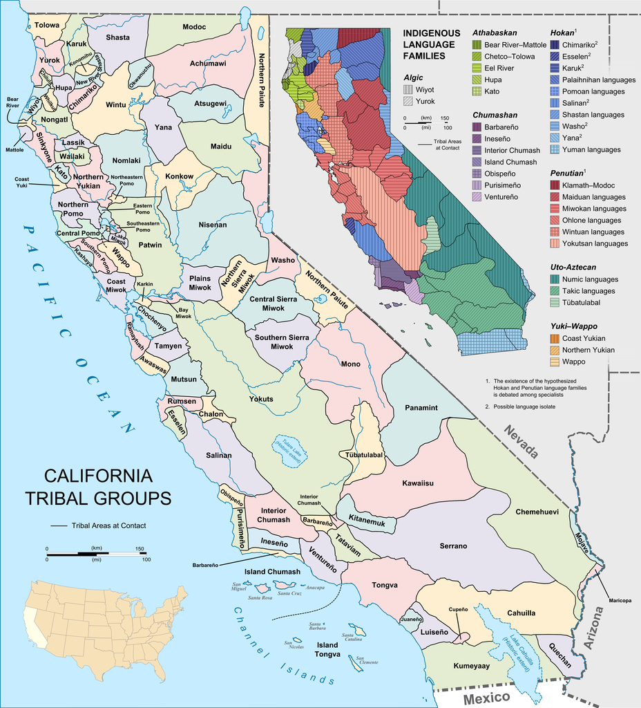
It also lumps all tribes in current California together which is incredibly lazy.
You don't have to give the land back if there's nobody left to give it back to.

I’ve been a history/linguistics nerd the majority of my life so, besides all the other reasons this is sad and fucked up, the world lost so much interesting, cool stuff. We could be living in a world where the Great Lakes rival the Mediterranean in historical/cultural richness, but instead they’re just the fucking boring border between Michigan and Canada.
"Californian Indian Tribes" is doing a lot of generalization considering how diverse the region is in cultural and linguistic practices. Not a big fan how they just lumped them together.
I must be doing something wrong, but when I try to view this image, I'm only seeing the upper right map (above the Indian Land Cessions title) rather than the full poster / image. How do I see the rest?
You're not doing anything wrong, these are two separate images. I posted the upper right map as the main post and the full poster in the body of this post. In order to view the full poster, just right-click on it (or click and hold if you're on mobile) and open image in new tab. Then you can zoom in on the poster

Hey guess what I'm gonna gripe about?
There's no Alaska map.
